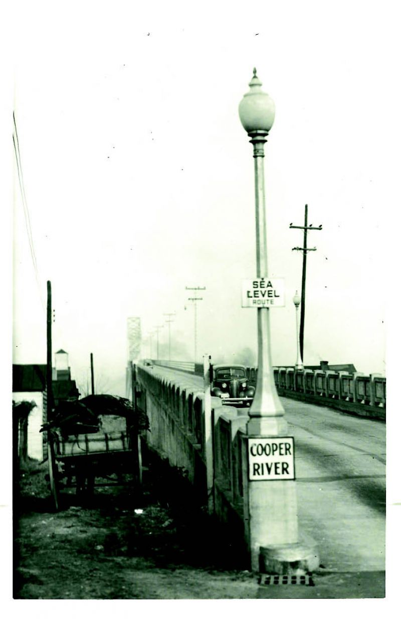
In 1937, when this picture was snapped by Charleston photographer M.B. Paine Jr., the Ocean Highway (now Highway 17) that ran from New York to Miami was a major draw for families touring in their Oldsmobile sedans. The “Sea Level Route” was an offshoot business road that took people into towns to sightsee or gas up—in this instance, on Highway 701 (Coleman Boulevard), which ran through Mount Pleasant to the islands.
Opened in 1929, the Cooper River Bridge (John P. Grace Memorial Bridge), shown here, was itself a lure. Two miles long and 150 feet high, it was the fifth largest cantilevered bridge in the world and touted as an “impressive structure… towering over historic Charleston.” Back then you paid a 50-cent toll to cross. But on a roadbed only 20-feet wide with no white lines down the middle, this two-way roller-coaster ride often stranded scared drivers at the top of the span, with passing locals regularly coming to their rescue. As one white-knuckled rider yelled to this writer’s father on a drive across the bridge, one had to “watch them hubcaps!”