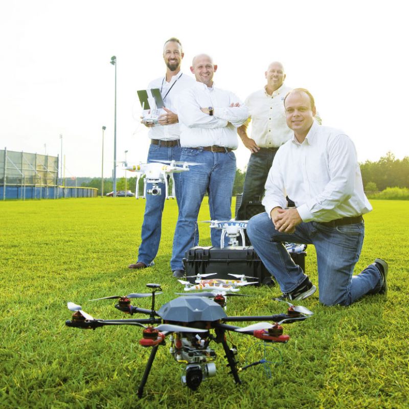
Remember the video of Shadowmoss Plantation under water from late-summer rains? How about the aerial photos of folks forming a heart in Marion Square in the wake of the Emanuel AME tragedy, or the news reports about drones aiding in search-and-rescue after a Moncks Corner plane collision? Well there’s one company behind them all: SkyView Aerial Solutions.
It was founded in 2014 by four locals who knew that photography drones (unpiloted or remotely piloted aircraft) could be useful to all manner of businesses and government agencies. “Drones are today’s Internet, smartphone, microwave, or other revolutionary device that’s improving the way we live and work,” says CEO Tom Fernandez.
SkyView, for example, has aided local first responders with jobs like the plane collision. “In one hour, our drone completed work that Berkeley County authorities said saved them three days of additional searching,” notes Fernandez. The company has been hired to document construction sites and the structural status of large buildings. It’s completed promotional photography for clients galore and has even delivered diamond rings—and recorded the proposals. The sky, quite literally, is the limit.
Serving & Protecting
Check out ways SkyView drones can aid in public safety
----------------------------------------
➼ Fire pre-plans: Aerial images are utilized by fire departments to create pre-plans for tackling emergencies at large areas and structures in their purview.
➼ Warrant investigation: Emergency personnel may use a drone to scout an area to help ensure it is safe to enter.
➼ Search & rescue: A large search area can be mapped and viewed quickly in situations where seconds count. SkyView is experimenting with prototype equipment that could drop items such as flotation devices.
➼ Emergency response & management: Photography, mapping, and infrared viewing of a location allows for a more efficient response.
Watch SkyView assist in a Sullivan's Island proposal: